by Beverley Kilby

Originally an agricultural parish and village, Kirk Hallam is now known for its large housing estates on either side of the main road to Spondon. It is hard to believe that in 1846 Kirk Hallam had just 18 houses and 93 inhabitants and that it changed very little until the last 100 years, with the most rapid growth in size taking place post WW2.
Public sector housing was built by the Ilkeston Borough Council and by Stanton and Staveley on the south side of the village in the 1950s/60s and a mix of public and private housing on the north side in the 1960/70s.
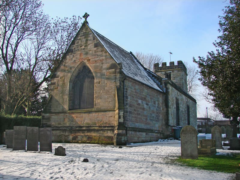
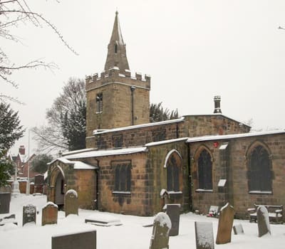
All Saints Church in the village is a Grade 1 listed building. It was built in the fourteenth century, but it is thought that there may have been an earlier one on the site. The church has had many alterations and repairs over the last couple of hundred years being re-pewed, a new chancel arch, new porch and buttresses added.
Below the church on the same side of the road is the school built by Francis William Newdigate in 1872. As the population of the village was small the school accepted pupils from other nearby villages such as Little Hallam and Mapperley. The building was extended twice and when Ladywood Road was widened in 1963 some of the front yard was lost. With the new housing estates, the school was inadequate and so new schools were built – one just up the road (Ladywood School) and another Dallimore Primary which was revolutionary in its design – it had no assembly hall, school canteen or toilet block. Instead, seven self-contained classrooms formed teaching spaces in which there were separate areas for teaching, play and a “garden” area as well as toilets.

Industry played a small part in the parish with a short-lived colliery and ironstone pit. During the late 19th Century, Ilkeston’s Town Council used water from the colliery to supplement the town’s water supply. The disused ironstone pit – now Pioneer Meadows – was lastly owned by Stanton before coming under Erewash Borough Council’s stewardship.