Ilkeston is situated approximately 10 miles east of the City of Derby and 8 miles west of the City of Nottingham in the East Midlands of England. The town stands at a height of around 100 metres above sea level and occupies the same sandstone levels upon which stand the town of Heanor to the north and the villages of Sandiacre and Stanton by Dale to the south. Ilkeston is bordered to the east by the River Erewash and the Erewash Canal and to the west by the Nutbrook and includes the former villages of Kirk Hallam to the south-west and Cotmanhay to the north.
Though a small number of prehistoric and Roman archaeological finds have been made in the area, no evidence of any permanent settlement dating from a time prior to the Conquest of 1066 has yet been found. Ilkeston itself probably began as an Anglo-Saxon settlement and became part of the Danelaw in the 9th century. The Domesday Book of 1086 records the name of the village as Tilchestune – the ‘T’ being mistakenly added by a Norman scribe. Domesday tells us that before the Conquest of 1066 the principal landowners were named Ulf Fensic, Osmund Benz and Toli.
After the Conquest, the manor was handed to Gilbert of Ghent, who in turn sublet the land to a vassal named Malgar. During the Medieval period, the manor passed through a succession of families, all of whom held other manors either within or without the county. These families included the Muskhams, the Gresleys, the Cantelupes, the Zouches, the Savages and the Manners (see Lords of the Manor).
In 1252, King Henry III considered the town important and prosperous enough to be granted a charter permitting a weekly market and an annual fair. In 1386, the right to appoint parish priests passed into the hands of the Premonstratensian canons of Dale Abbey and who for the next 213 years until the Dissolution, appointed one of their own as the village priest of Ilkeston.
During the Tudor period, ownership of the manor was transferred to the Savage family as the last Zouche supported the losing King Richard III at the Battle of Bosworth in 1485.
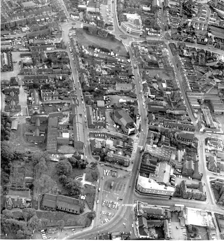
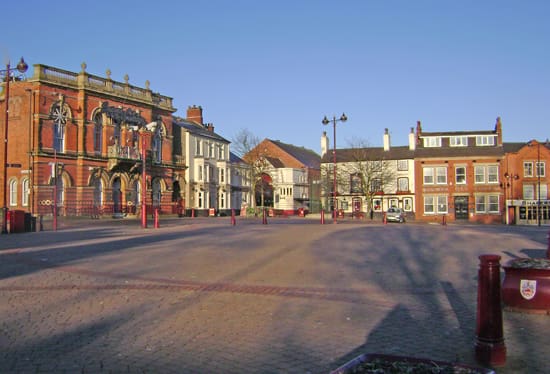
Estimates put the population of the town in 1600 at around 600, living in little more than 55 or so cottages, houses and farmsteads. The principal industries at the time being agriculture and the production of wool for the growing local textile trade. At this time the town consisted mostly of one long street – ‘Town Street’ – which now comprises Bath Street, the Market Place and South Street.
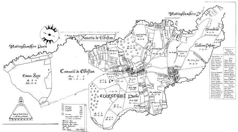
Although some field enclosure had taken place over the years, by the mid 18th century, much of the land around Ilkeston still lay in very large, open fields. This land also included the Ilkeston Common, an area of some 383 acres stretching north from the bottom of the present Bath Street to the present Church Street in Cotmanhay and west to east from the Nutbrook to the banks of the River Erewash.
Each of these large fields contained many smaller strips of land, each often belonging to several different owners. This made any large scale and efficient production of crops difficult and so, in 1794, an Act of Parliament was passed, which allowed the enclosure by the Lord of the Manor of large areas of open land. Sadly, this also included the Common, upon which for centuries, the poor cottagers had held the right to graze their cows, pigs and sheep.
The main industry at the turn of the 19th century was framework knitting. This trade underwent a series of crises during which wages were cut and many frameworkers found themselves almost slaves to the framesmiths, having to rent the machines upon which they worked. Long hours and low wages caused a petition to be presented to Parliament highlighting the frameworkers demands for better working conditions.
The decline in the trade was in some way compensated by the gradual expansion of the local textile trade and by 1850, Ilkeston was home to five hosiery and six lace factories.
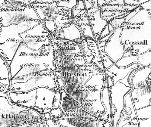
The growth in other industries also brought relief for the poor frameworker. In 1779, the Erewash and in 1793, the Nutbrook Canals were opened to carry coal from the local coal fields down to the Trent. The canals also provided an outlet for other locally produced goods, such as pottery, textiles and the growing iron industry.
The 19th century was period of rapid growth. The population in 1800 stood at just under 2,500. By 1881 this had grown to just over 14,000 and within the next ten years, had grown to over 19,000. The coming of the Midland Railway in 1847 and the Great Northern Railway in the late 1880’s made further growth and industrialisation possible.
In 1887, Ilkeston became a Municipal Borough in its own right. The new Borough Council took over from where the old Town Board had left off, which itself had taken over the running of the town’s affairs from the old system by the Vestry and the Overseers of the Poor in 1864.
IIkeston is twinned with the French town of Chalons-en-Champagne. This was celebrated in April 1957, when the Mayor of the Borough paid a return visit to the French town following a civic visit to Ilkeston the previous February.
Since 1974 Ilkeston has been a part of the Borough of Erewash, which includes southerly neighbouring town Long Eaton and parishes to the east.